Pyrmont Peninsula Place Strategy
Place Strategy
Heritage Assessment
Thematic History
Department of Planning, Industry and Environment NSW
Sydney, NSW
Gadigal Country
The Pyrmont Peninsula is a distinctive part of the Western Harbour Precinct in Sydney. It has been identified as a location that can enhance financial growth and development of Sydney as an attractive, strong and competitive global city.
The Department of Planning, Industry and Environment engaged GML to explore the non-Indigenous cultural heritage of the area and contribute to the Pyrmont Peninsula Place Strategy that will guide design outcomes for the precinct.
We developed a thematic history, heritage assessment and determined the archaeological potential of the area. This research contributed to a number of considered heritage recommendations, to inform future masterplanning principles of the Pyrmont Peninsula.
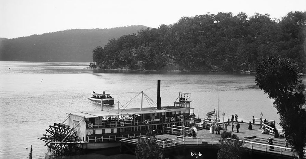
The Pyrmont Peninsula Place Strategy presented particular challenges for characterising archaeological potential. It is a highly urban environment that has undergone radical change over the last 200 years.
Geographical Information Systems (GIS) was central to charting the process of historic change and for relating it to the modern landscape. We employed a number of approaches that were managed through our GIS project. For example, a Lidar-derived Digital Elevation Model was generated to visualise the current topography of the modern peninsula and to highlight areas of historic quarrying and land reclamation.
Output included thematic cartography illustrating major phases of historic settlement on the peninsula supported by 3D renderings of historic maps in relation to the modern topography.
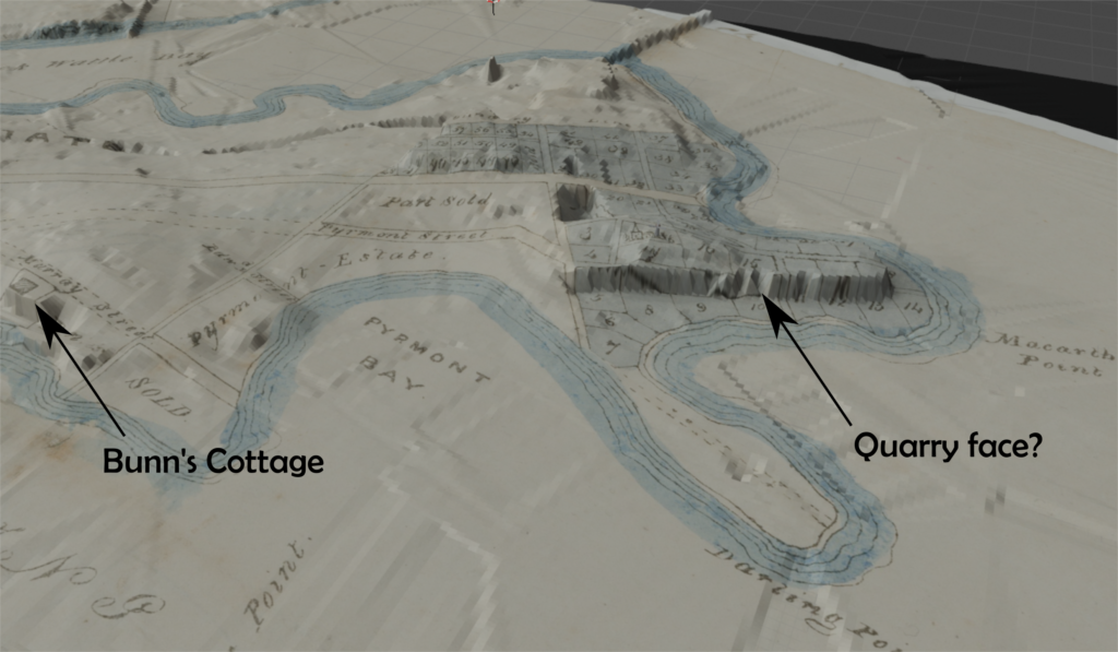
3D visualisation of modern topography with historic map. (Source: Plan of 58 allotments, being the second portion of the Pyrmont estate to be sold by auction by Mr. Smart in 1840, SLNSW; DEM & Lot boundaries © Dept. Finance, Services and Innovation & GML)

Map showing quarries, quarry faces and reclamation. (Source: Trigonometrical Survey section plans, 1865, Metropolitan Series Plans, 1882. Named quarry locations derived from Pyrmont History Group. DEM © Dept Finance, Services and Innovation)