Achieving positive outcomes for all stakeholders.
Mildura & District Heritage Study
GML Heritage recently completed a comprehensive heritage study of the Rural City of Mildura, a region with a rich and diverse history which is reflected in its built and landscape heritage.
The Rural City of Mildura is located in the far north-western corner of Victoria. For millennia, First Nations people have adapted to an extreme climate and a challenging environment. Environmental, geographical and economic factors have shaped the cultural heritage of this region in many different and fascinating ways in terms of irrigation, innovation, industry, transport and community life.
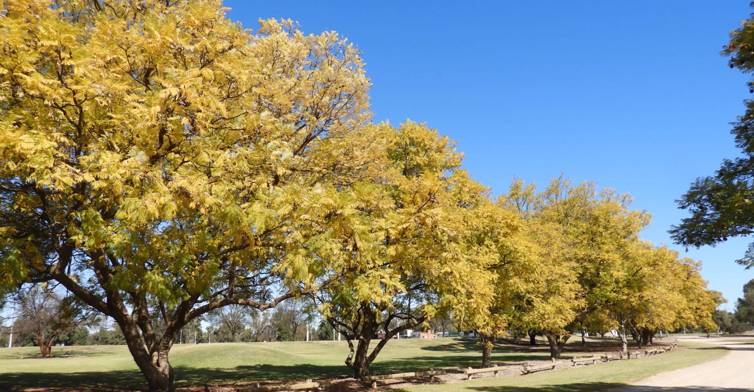
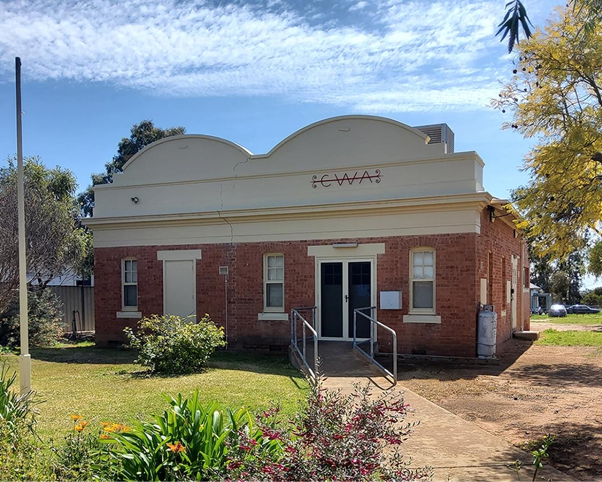
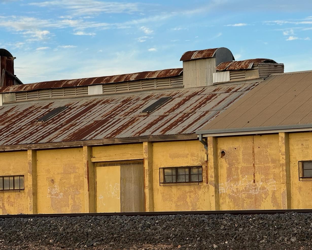
Mildura has an incredibly rich and diverse history which is reflected in its built and landscape heritage. This includes its layout (planned by the Chaffey brothers in 1887), its unique pattern of horticultural blocks and designed landscapes; residential, industrial, commercial and rural development; and its street trees and streetscapes. It is also reflected in the evidence that remains of early pastoral settlement, closer settlement and soldier settlement, and in the evidence of how life was lived and how people came together for work, recreation, school and church life, and social interactions. Mildura’s heritage is distinctive (relative to other local government areas), because of its different waves of development and different economic drivers of development.

About the project
In 2024, GML Heritage completed a comprehensive heritage study of Mildura’s post-contact heritage for the Mildura Rural City Council. The Mildura & District Heritage Study (the Study) is the first comprehensive heritage study of the former Shire of Mildura that has been undertaken since the 1988 City and Shire of Mildura Conservation Study prepared by Andrew C Ward. The Study follows our previous work with Council (when trading as Context) on the Mildura (former Shire of Walpeup) Heritage Study in 2013 and its associated implementation.
The Mildura & District Heritage Study was carried out over two stages; the first involved the identification of places and precincts of potential significance and preparation of an updated Thematic Environmental History (draft), while the second involved field work, documentation and detailed assessment of the potentially significant places and precincts, and finalisation of the Mildura Thematic Environmental History. The Study assessed more than 100 post-contact places of cultural significance that provided evidence of the historical land use and settlement patterns of the area, and made recommendations for the future protection and conservation of 86 individual places, four precincts, and 12 serial listings.
Strategy
A Community Reference Group made up of knowledgeable community members, representing each of the smaller townships and the main centre, was established at the outset of the project and provided an important resource throughout the project. Working closely Council officers and the Community Reference Group—and with our ‘eyes on the ground’—was integral to understanding the rich and layered history of the region.
The individual places, serial listings and precincts assessed included residential and commercial buildings, social gathering places, parks, gardens, street trees, urban and rural cultural landscapes, industrial complexes, civic, educational and religious buildings, infrastructure associated with the movement of people and goods by river, railway, and by air, as well as water management and supply, and archaeological sites.
Outcomes
The final study comprises four technical volumes. A Methodology Report provides a summary of the study process and its findings and recommendations for protecting heritage places through the Mildura Planning Scheme. An updated Thematic Environmental History traces the historical development of the Rural City of Mildura from European settlement through to the present day. A Historical Archaeology Assessment presents findings on identified historical archaeological sites across the municipality. The final volume includes the heritage assessments and recommendations for individual places, precincts and serial listings.
Deliverables
- Heritage Study
- Community Consultation
- Built Heritage
- Landscape Heritage
- Mildura Rural City Council
- Mildura, VIC
- Latji Latji Country